
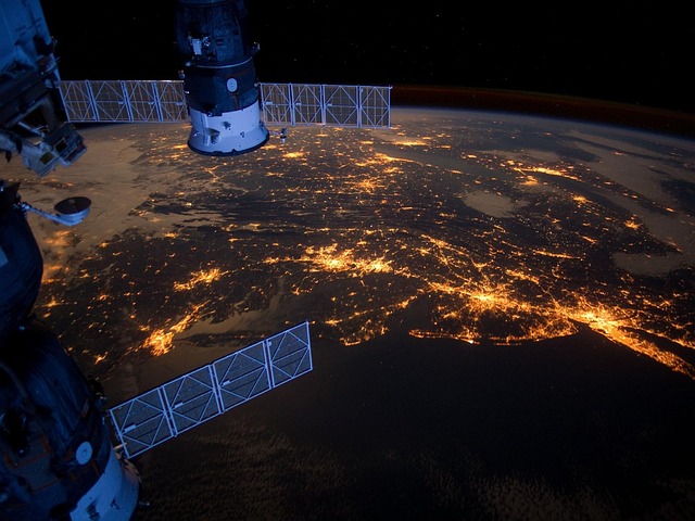
AI gained rapid success as a game-changing technology in all sectors. Its most prominent use case is improving high-resolution satellite imagery. These technologies offer an unparalleled window on the Earth and could be a game-changer in how we see and use our data from space. With the help of innovative capabilities that come with AI, the interpretation and implementation of satellite images are clearer than ever, leading to a more educated insight into the Earth.
Enhancing Image Clarity
Although experimental images from space are available, processing them with the optimal resolution, noise, and atmosphere correction methods can be an issue for camera images. AI in a satellite monitoring system enhances image quality, noise reduction, and distortion correction. For example, machine learning models are capable of using large datasets to learn how to predict and correct satellite image errors. The enhancements resulting in improved, clear, accurate reflectance of Earth’s surface are necessary input for various applications.
Improving Data Analysis
Artificial intelligence also plays a critical role in satellite imagery analysis. Traditional methods can take time and are always subject to human error. AI-powered techniques, on the other hand, are designed to automate the extraction and interpretation of data to help accelerate this process. They do an amazing job of recognizing patterns, identifying deviations in land cover, and classifying land covers. Such capability enables faster and more reliable insights, which can benefit areas like agriculture, urban planning, and environmental monitoring.
Applications in Agriculture
High-resolution satellite imagery driven by artificial intelligence provides a wealth of information for farming. Farmers gain precise data on the state of the soil, crop level, water consumption, etc. Numerous applications of AI-powered analysis assist in providing data to rationalize irrigation, predict harvest, and replace pest infestations. Such timely data allows farmers to make informed decisions that enhance the productivity and sustainability of the agricultural sector.
Urban Planning and Development
The use of AI-refined satellite photos has great implications for environmental change. This tech helps city planners check on infrastructure, evaluate land use, and plan for future development. These high-resolution images showcase examples of urban sprawl, traffic trends, and climate change impacts on cities. As a result, this allows planners to create more sustainable and efficient urban environments that cater to the needs of an ever-increasing population.
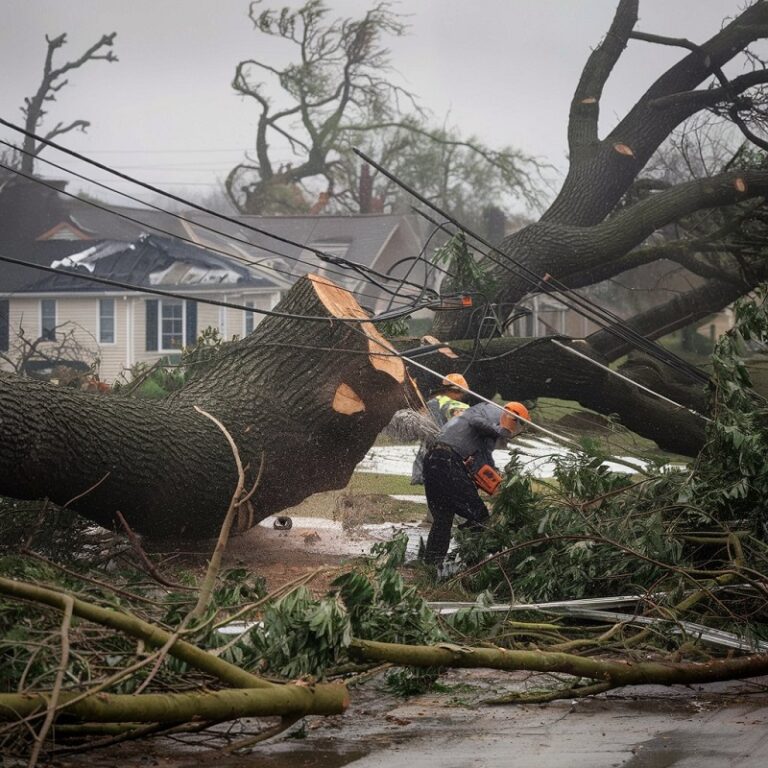
Environmental Monitoring
AI powers the enhancement of satellite imagery, which helps with environmental monitoring. Access to real-time information about deforestation, pollution, and natural disasters has become more reliable and accurate. By monitoring ecosystem changes, AI algorithms provide data on biodiversity loss and highlight how climate change affects various living species. This knowledge guides decisions made by policymakers, conservationists, and scientists working to preserve the natural world.
Challenges and Considerations
The use of AI in satellite imagery brings a lot of pros and cons. More granular images are available, which leads to issues with data privacy. Also, the demand for significant computing energy and experience can be a hurdle for a few corporations. Ethical considerations around AI algorithms must also be addressed for responsible use, including preventing misuse of surveillance or other harmful purposes. Algorithm bias, too, requires careful monitoring to prevent skewed interpretations across different geographical regions.
Future Prospects
The future potential of combining AI with satellite imagery is huge. Further improvement in AI technology will develop high-resolution images and more sophisticated analysis data. AI could become even more powerful thanks to early quantum computing. The capabilities of AI are constantly growing, and I believe we are only beginning to scratch the surface of how we can leverage this technology in satellite imagery.
Conclusion
This firmly cements AI as an unwavering powerhouse in bewitching high-res satellite images. AI has an outsized influence on our ability to comprehend and engage with our planet by enhancing image clarity and analysis, helping us mine our data, and providing actionable insights across verticals. There are many challenges we must tackle, but the benefits of this technology are enormous. With ongoing developments, there is a promise for the future where AI-based satellite imaging will play a critical role in solving global challenges and accelerating sustainable growth.